⚡ZurzAI.com⚡
AI Start Ups Your Should Know
Mapillary
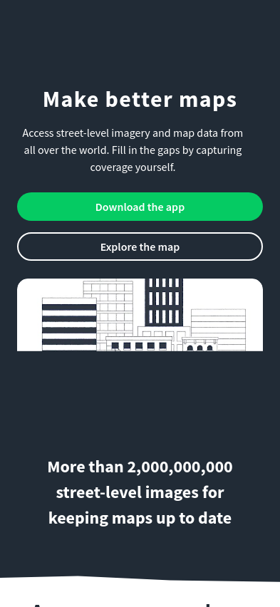
Mapillary provides street-level imagery and map data, enabling global collaboration for enhanced mapping, improved navigation, and support for autonomous driving technologies.
About | About | About | About | About | About | About | About | About | About | About | About | About | About | About | About | About | About | About | About | About | About | About | About | About | Vision/Values | About
-
The company's key focus area: The company, Mapillary, is centered on a platform for crowdsourcing, sharing, and utilizing street-level imagery to build better maps and data solutions. It aims to provide an innovative approach to creating detailed, up-to-date, and accurate street-level views through a collaborative framework involving a global network of contributors.
-
The unique value proposition and strategic advantage: Mapillary distinguishes itself by leveraging a distributed model where individuals and organizations can upload street-level photos, enabling them to crowdsource extensive visual data on a global scale without relying solely on proprietary systems. This approach allows the company to rapidly amass a comprehensive database of images that power a multitude of mapping applications. Their strategic advantage lies in their capability to update, process, and analyze these images in real-time, thus keeping pace with changes in the urban landscape more efficiently than traditional methods.
-
How they deliver on their value proposition: To deliver on its value proposition, Mapillary employs a robust platform equipped with advanced computer vision technology to map the world through various contributors efficiently. Key elements of their operational framework include:
-
Crowdsourced Participation: Users contribute by capturing and uploading images, which is mediated through Mapillary's user-friendly mobile applications and integrations with off-the-shelf devices, enabling ease of access for anyone wishing to contribute.
-
Advanced Image Processing: The company processes uploaded images with state-of-the-art image recognition and computer vision technology to extract data points and map features, which include detecting objects, text, signs, and more. This advanced data processing capability enables the conversion of raw street-level imagery into useful map data.
-
Cross-Sector Collaboration: Mapillary partners with various stakeholders, including city planners, mapping services, automotive companies, and community contributors to ensure the comprehensive usage of its data for urban planning, navigation systems, route optimization, and similar applications.
-
Mutual Accessibility and Integration: By offering APIs and integration options, Mapillary makes it easy for developers and companies to incorporate its data into their existing systems. Their partnership with mapping software enhances the quality and precision of existing geographical data, improving navigation and spatial analysis tasks.
Through these systems and collaborations, Mapillary proposes a transformative way to handle street-level imagery and mapping that can adapt to a rapidly changing world, redefining how geographical data is collected and utilized.